What do we know? (continuation)
1.2 The site collectively recognised as a disaster area

As far as built physical environment goes (North Staffordshire—including the Potteries and Newcastle-under-Lyne) is a disaster area, largely unchanged and uncared for since the nineteenth century.
Price, 1966, ‘Potteries Thinkbelt’, p.484, Architectural Design [3]
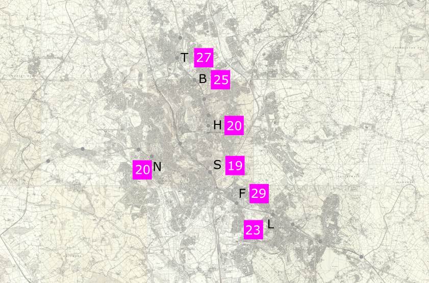
Table 1 provides links to photographic evidence that the site was a disaster area.
| Digitized Items For: Existing built-up areas in the early 1960s |
|---|
| T Tunstall [4] |
| B Burslem [5] |
| H Hanley (includes items from the 1970s) [6] |
| S Stoke (includes items from the 1970s) [7] |
| F Fenton [8] |
| L Longton [9] |
| N Newcastle [10] |
| Table 1: Photographic evidence – click hyperlinks (numbers of items bracketed) |
Thus collectively we know:—
- … that in terms of buildings the part of North Staffordshire including the Potteries and Newcastle-under-Lyne was a disaster area.